Gold Belt Tour

Length: 131 miles
Driving time: 5 hours
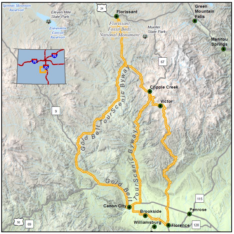
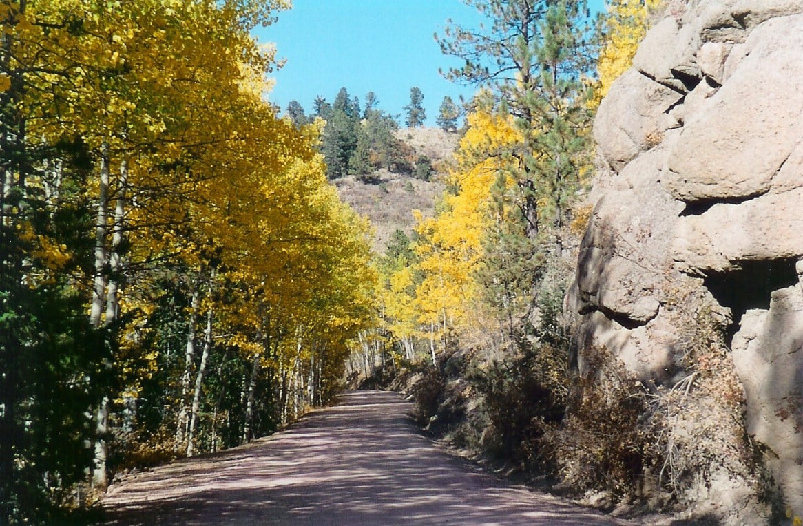
In the early 1890s, the mining towns in the shadow of Pikes Peak enjoyed the greatest gold boom the state has ever known. This 131-mile circuit tours historic Cripple Creek, Florence, McCourt, Adelaide, Wilbur, Victor, and other former gold camps. The roads are narrow and rugged in places - one stretch of the Shelf Road clings to a canyon wall 200 feet above the stream bed - but the payoff comes in the outstanding scenery: majestic Pikes Peak, the unspoiled Beaver Creek Wilderness Study Area, spectacular Royal Gorge, and miles of high-country beauty. Two significant fossil areas — Florissant Fossil Beds National Monument and the Garden Park Dinosaur Fossil Area — lie along the route.
The Gold Belt Tour was designated by the U.S. Secretary of Transportation as a National Scenic Byway in 2000. It is one of 13 America’s Byways® designated in Colorado.
Features
- MyScenicDrives Road Trip Map
- Royal Gorge Bridge
- Mueller State Park
- Florissant Fossil Beds National Monument
- Designated a National Scenic Byway
- Garden Park Fossil Area
Local Chamber(s) of Commerce
- Cripple_Creek
- Florence
- Royal Gorge Chamber Alliance
- Victor
Byways Corridor Management Plan
- Colorado Scenic Byways Economic Development Strategies (Gold Belt, Collegiate Peaks, Frontier Pathways) 2015
- Gold Belt Tour Scenic Byway Partnership Plan
- Gold Belt Tour Scenic Byway Corridor Management Plan 2018
- Geology of the Gold Belt Byway Junior Explorer Book
Special Considerations
- 4WD recommended on Upper Shelf
- No vehicles over 25 feet long on Phantom Canyon Road

