Collegiate Peaks

Length: 57 miles (one way)
Driving time: 90 minutes
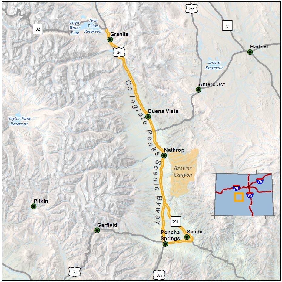
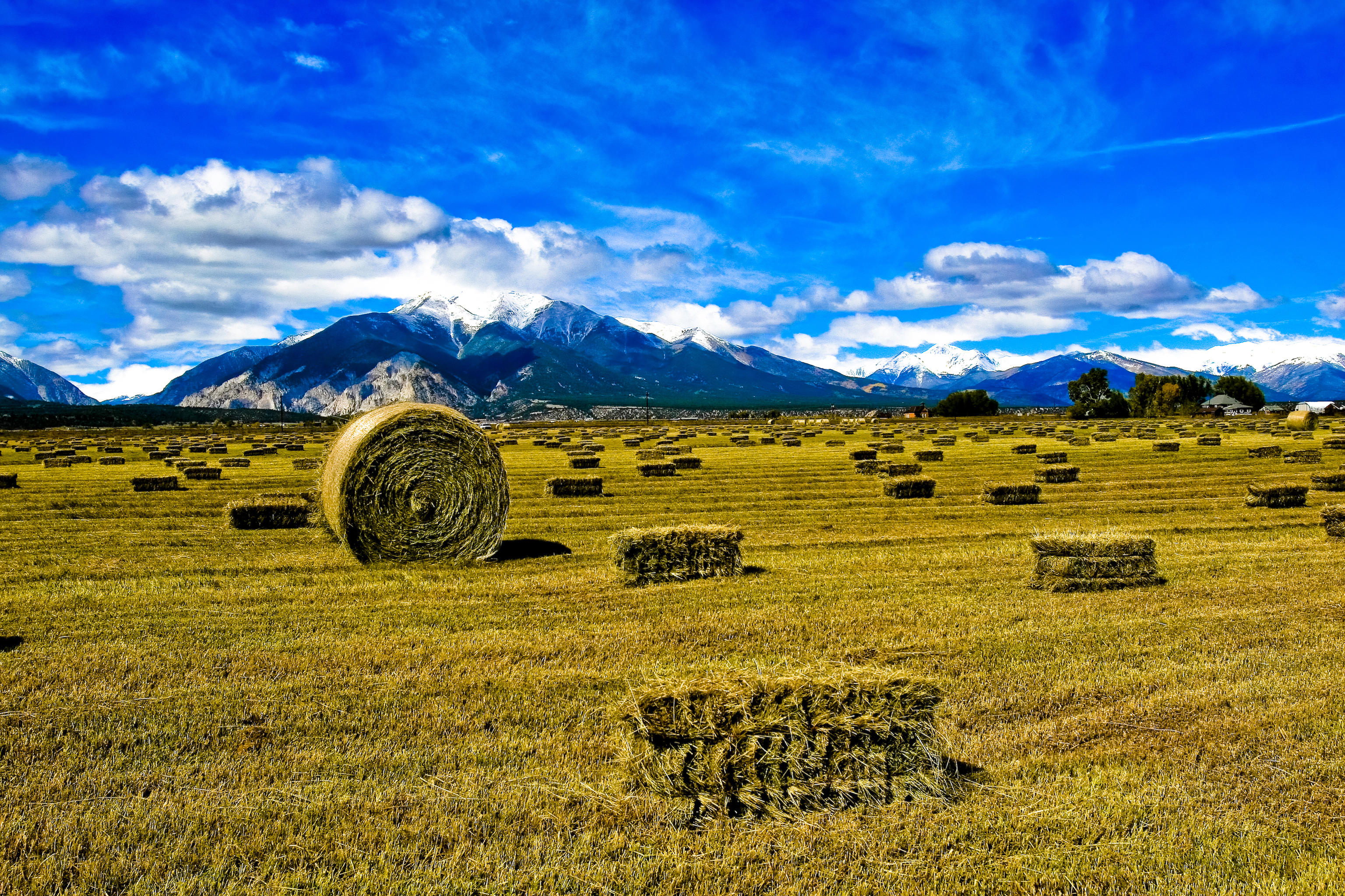
No matter where you begin your tour of the Collegiate Peaks Byway, you will be ushered into one of Colorado's most scenically spectacular, historically rich and recreationally diverse areas. This paved 57-mile route parallels the Continental Divide at the foot of the Sawatch Range, the highest concentration of 14,000+ foot peaks in the country. The greater part follows the Arkansas River, the most commercially rafted river in the nation, a world-class kayaking destination, and one of the state's premier trout fishing resources.
The constantly unfolding views of impressive peaks, intermittent stretches of lush riverside, numerous fishing and boater access points, extensive national forest and other public lands, active high altitude ranches and an variety of commercially developed natural hot springs together define the amazing scenic, recreational and geological contrasts that are the Upper Arkansas River Valley. Nowhere else in Colorado is found the state gemstone, the aquamarine, mined on Mt. Antero. The classic mining towns of Vicksburg, Winfield and St. Elmo are accessible from the byway, the communities of Poncha Springs and Buena Vista are historically rich and vibrant, while the town of Salida boasts the largest historic district in the state.
Features
- Collegiate Peaks Tourism Webpage
- Arkansas Headwaters State Park
- San Isabel National Forest
- Browns Canyon National Monument
- Hutchinson Homestead Museum & Visitor Center
- Chalk Cliffs Rearing Unit
- Mount Shavano Hatchery
- Visit Buena Vista & Salida
Local Chamber(s) of Commerce
Byways Corridor Management Plan
- Collegiate Peaks Scenic and Historic Byway Conservation Plan
- Chaffee County Heritage Area & Collegiate Peaks Scenic and Historic Byway Management Plan 2008
- Colorado Scenic Byways Economic Development Strategies (Gold Belt, Collegiate Peaks, Frontier Pathways) 2015
- Framework for Wayshowing: Collegiate Peaks Scenic and Historic Byway Aug 2014

