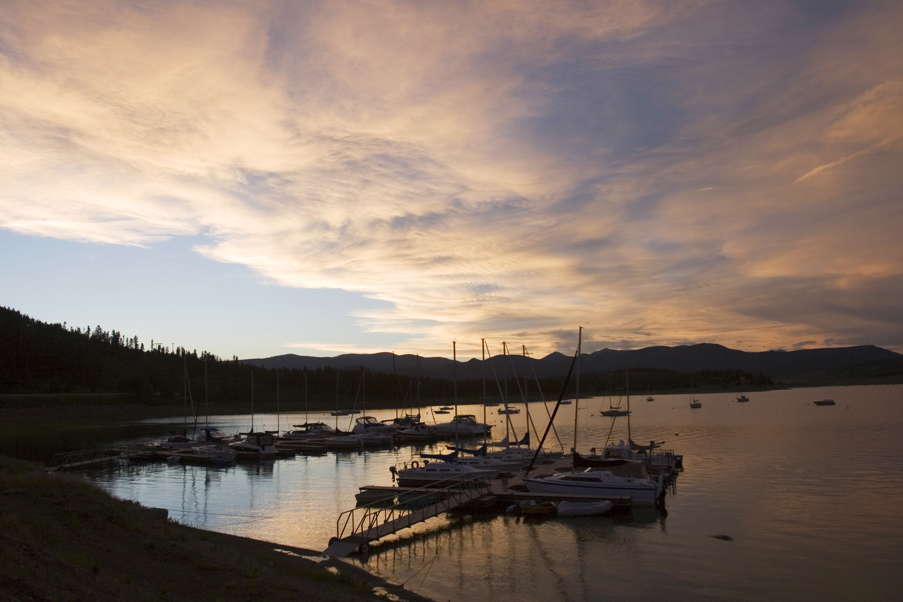
Colorado River Headwaters
Length: 80 miles
Driving time: 2 hours
Downstream the Colorado is a mighty river irrigating and providing power to the Southwestern United States. But up here, at its source, it is no different from dozens of other Rocky Mountain waterways, a clear brook tumbling across greenish meadows and down cramped red rock gorges. This stretch between Grand Lake and State Bridge offers first-class fishing, canoeing, and rafting, along with plenty of quiet spaces where you can sit on the banks and contemplate. The route begins at Grand Lake, an old resort town on the shores of Colorado's largest natural lake, and ends on a gravel road through spectacular Upper Gore Canyon.
Colorado River Headwaters was designated by the U.S. Secretary of Transportation as a National Scenic Byway in 2005. It is one of 13 America's Byways® designated in Colorado.
Features
- Colorado River Headwaters Tourism Webpage
- MyScenicDrives Road Trip Map
- Rocky Mountain National Park
- Arapaho National Recreation Area
- Colorado River Headwaters Tour Brochure and Map
Local Chamber(s) of Commerce
Byways Corridor Management Plan
- Colorado River Headwaters Corridor Management Plan - September 2020
- Colorado River Headwaters Corridor Management Plan - January 2008
- A Framework for Wayshowing: The Colorado River Headwaters Byway - June 2014
Special Considerations
- The road between Kremmling and State Bridge has a gravel surface and limited visitor services.

