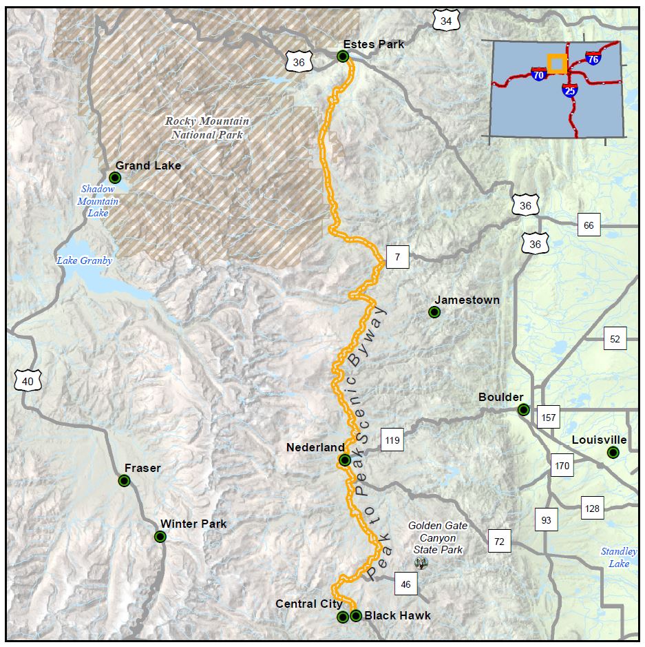
Peak to Peak

Length: 55 miles
Driving time: 80 minutes
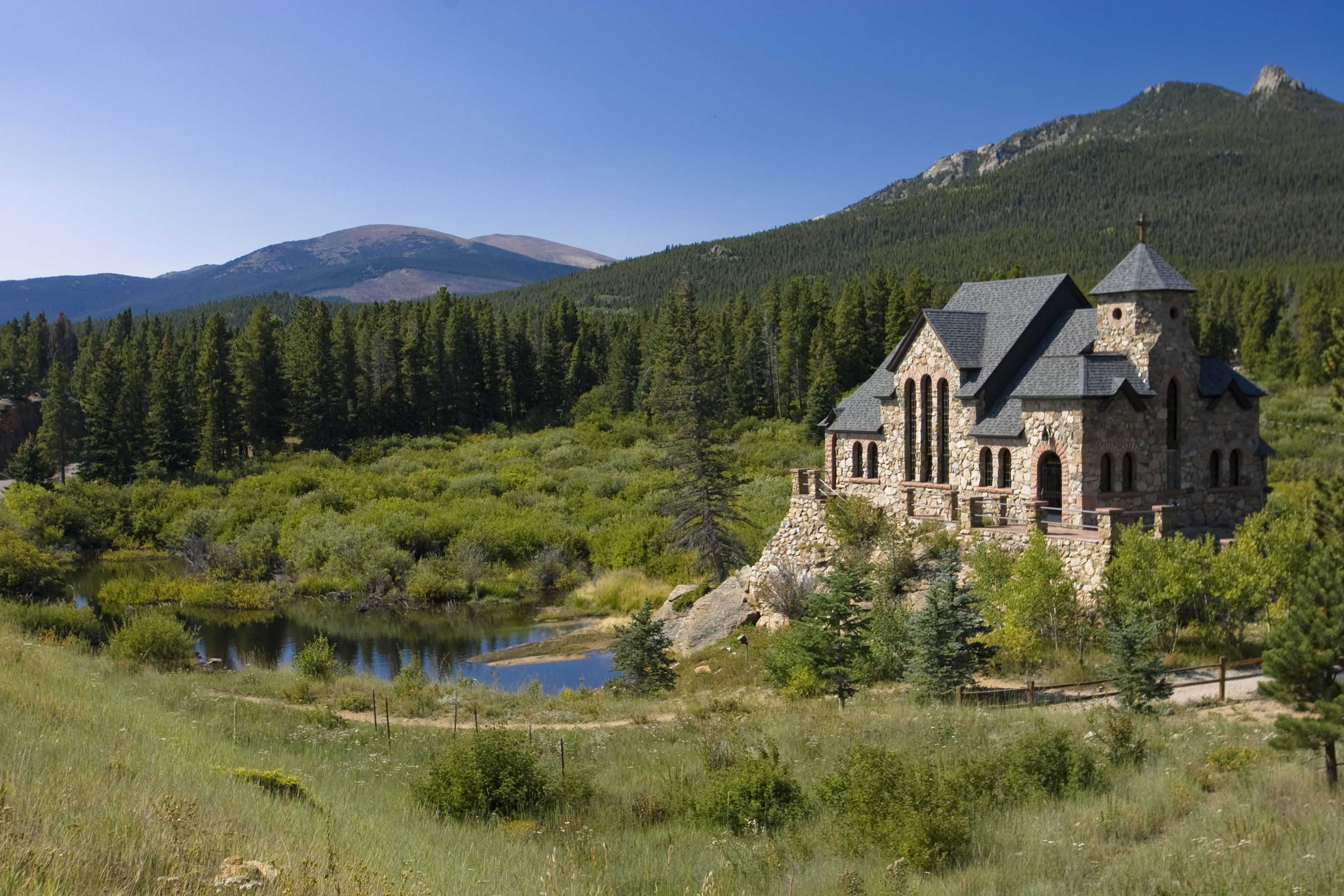
Welcome to the showcase of the Front Range. Less than an hour from Denver, Boulder, or Fort Collins, this 55-mile-long route provides matchless views of the Continental Divide and its timbered approaches. The string of popular attractions along the way - Rocky Mountain National Park, Golden Gate Canyon State Park, Arapaho and Roosevelt National Forests, the Indian Peaks Wilderness Area, Eldora Ski Resort - combine recreation with nature preservation. The gravel roads criss-crossing the main highway lead to high-country lakes, trailheads, campgrounds, the Moffat Tunnel's east portal, and ghost towns at Hesse and Apex. Established in 1918 this is Colorado's oldest scenic byway.
Features
- Peak to Peak Tourism Information
- MyScenicDrives Road Trip Map
- Rocky Mountain National Park
- Golden Gate Canyon State Park
- Arapaho and Roosevelt National Forests
- Indian Peaks Wilderness Area
- Eldora Ski Resort
- Eldorado Canyon State Park
- Gilpin History Museum/Historical Society
- Goldminer Hotel
- Lincoln Hills/Winks Lodge
Local Chamber(s) of Commerce
Byways Corridor Management Plan
- The Peak to Peak Scenic and Historic Byway Corridor Management Plan
- Peak to Peak Byway Visual Intrusion Reduction Plan
- Peak to Peak Framework for Wayshowing June 2014

