West Elk Loop
Length: 205 miles
Driving time: 6-8 hours

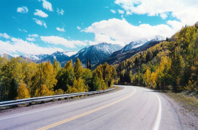
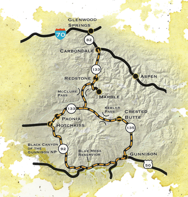
The twin summits of Mount Sopris and the incomparable Black Canyon of the Gunnison anchor the ends of the West Elk Loop. This magnificent landscape has been home to uncounted generations of Native Americans, most recently the Utes. White settlers originally came in search of minerals and stayed to farm and ranch. The coke ovens at Redstone bear witness to the toil that built the communities of today. Carbondale, Hotchkiss, Crawford, Gunnison, Crested Butte, and other towns offer a slice of Colorado's rich history, varied lifestyles, and natural beauty. The route gives access to the White River and Gunnison National Forests, the Black Canyon of the Gunnison National Park, Curecanti National Recreational Area, and Crawford and Paonia State Parks.
Features:
- Black Canyon of the Gunnison
- Blue Mesa Reservoir
- Curecanti National Recreation Area
- Crawford State Park
- Paonia State Park
Local Chamber of Commerce(s):
- Carbondale
- Crested Butte
- Gunnison
- Marble Crystal River
- North Fork Valley
- Paonia
- Redstone
- Glenwood Chamber (near West Elk Loop)
Special Considerations:
- There is a 31-mile gravel section over Kebler Pass closed in winter.
Corridor Management Plan & Reports
- West Elk Loop Corridor Management Plan
- A Framework for Wayshowing West Elk Assessment
- West Elk Byway Trail Study 2004

