Los Caminos Antiguos

Length: 129 miles
Driving time: 3 hours
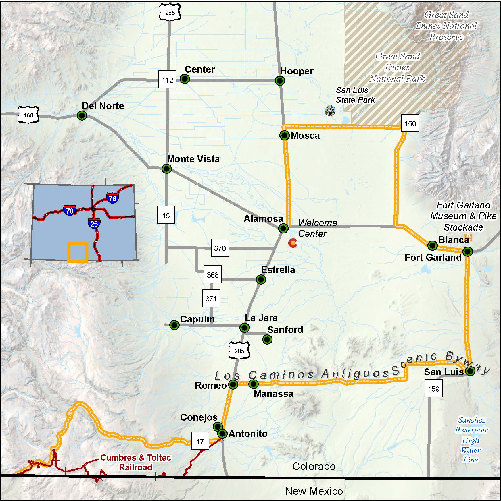
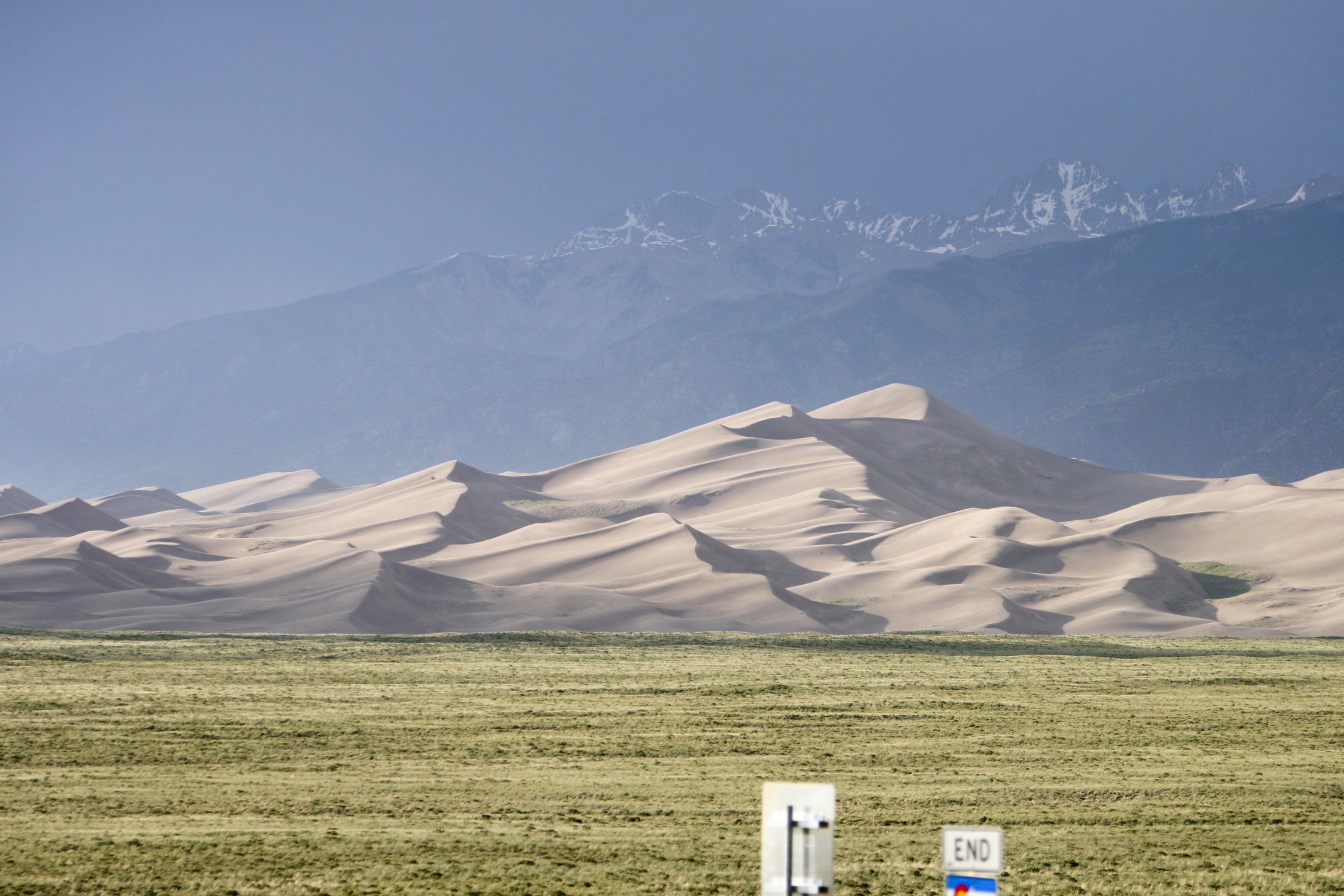
The Great Sand Dunes are one of nature's most painstaking creations. Hundreds of feet high and more than a thousand miles from the nearest ocean beach, these drifting dunes accumulated over the eons as winds swept sand against the west face of the Sangre de Cristo Range. That slow, determined process reflects the spirit of the San Luis Valley - an enormous, sun-baked flat between the Sangres, and the San Juan foothills. Life here would not seem to have changed much since the 1600s, when Spain cast its claim over this region. Los Caminos Antiguos takes you to Colorado's oldest surviving community (San Luis, 1851), its oldest parish (Our Lady of Guadalupe, in Conejos), and one of its first military posts (Fort Garland). Drive, explore, take your time- there's plenty of it to spare.
Los Caminos Antiguos won the National Scenic Byway Foundation's 2021 Beautification Community Award after the completion of the Rancho la Luz – Conejos Ranchland Initiative – Preserving Wet Meadows project - a historic 500-acre ranch in the San Luis Valley. Read more about this award in the April 2021 National Scenic Byway Foundation newsletter at nsbfoundation.com.
Itineraries/Trips
- Leaf Peeping in Southern Colorado
- Best in Class Scenic Byways
- Scenic Byways | Short Walks & Long Views
- Los Caminos Antiguos Scenic and Historic Byway
- Museum Trail
Features:
- Great Sand Dunes National Park
- Cumbres/Toltec Scenic Railroad
- Fort Garland Museum
- Museum of the San Luis Valley & Southern Colorado
- San Luis Lakes State Park
- Sangre De Cristo National Heritage Area
- San Acacio Church (oldest church building)
- San Luis' People's Ditch (Colorado's oldest water rights)
- Zapata Falls
- Trujillo Homesteads
- Cumbres & Toltec Scenic Railroad
- John W. Mumma Native Aquatic Species Restoration Facility
Local Chamber(s) of Commerce
- Alamosa
- San Luis
Byways Corridor Management Plan
- Los Caminos Antiguos Scenic and Historic Byway Partnership Plan (December 1999)
- A Framework for Wayshowing: Los Caminos Antiguos Scenic Byway Oct 2015
Teaching Resources
- Teacher Guide: Los Caminos Antiguos (2003)

