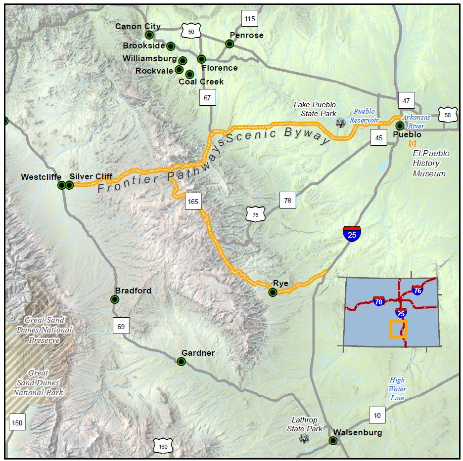
Frontier Pathways

Length: 103 miles
Driving time: 3.5 hours
The name of the byway sums it up perfectly. This old frontier zone south of the Arkansas River marked the intersection of Native American, Spanish, French, and American territories. Thousands left their footsteps in this much traveled corridor-first the Ute Indians, then Spanish and American explorers, and finally traders, fur trappers, homesteaders, ranchers, and gold prospectors. Those bygone travelers viewed the same snow-capped mountains, jagged canyons, carpeted meadows, and aspen-covered hillsides that we marvel at today, and the signs of their passage remain. Historic buildings line the route, bearing witness to long-lost cattle empires, mining operations, and Victorian towns. Let this be your pathway to adventure.
Frontier Pathways was designated by the U.S. Secretary of Transportation as a National Scenic Byway in 1998. It is one of 13 America's Byways® designated in Colorado.
Features
- Frontier Pathways Tourism Webpage
- El Pueblo Museum (Pueblo)
- International Dark Sky Community
- Lake Beckwith State Wildlife Area
- Lake Pueblo State Park
- MyScenicDrives Road Trip Map
- Pueblo Hatchery
- San Isabel National Forest
- International Dark Sky Community - Westcliffe & Silver Cliff
Local Chamber(s) of Commerce
Byways Corridor Management Plan
- Frontier Pathways Scenic and Historic Byways Corridor Management Plan (April 2010)
- Colorado Scenic Byways Economic Development Strategies (Gold Belt, Collegiate Peaks, Frontier Pathways) 2015
- Frontier Pathways Byways Corridor Management Plan 2020

