Flat Tops Trail

About the Byway
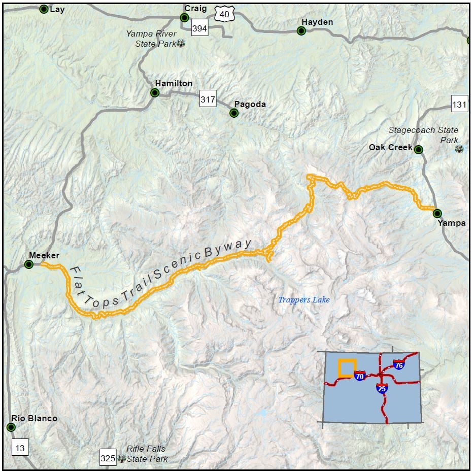
Length: 82 miles
Driving time: 2 hours
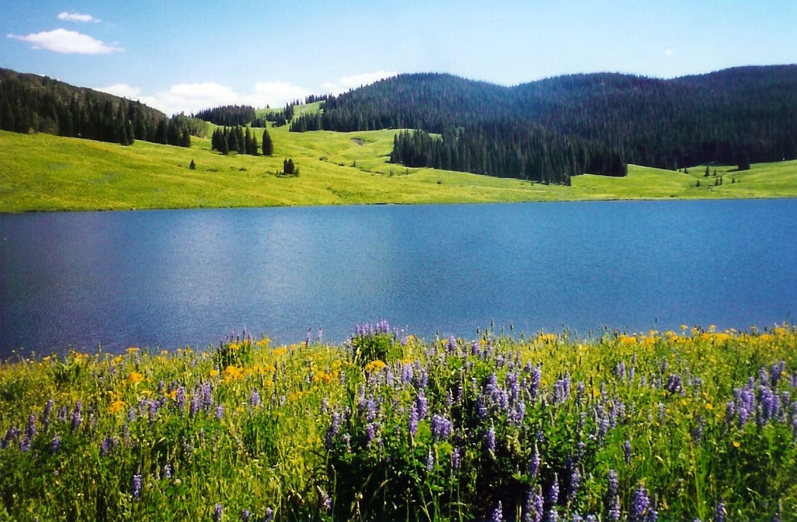
This byway cuts through the heart of the original White River Plateau Timberland Reserve, set aside in the late 19th century as the second unit of what eventually became the National Forest system. Two decades later, in a foreshadowing of the 1964 Wilderness Act, development of any kind was banned around Trapper's Lake (the "Cradle of Wilderness"). The area's long-standing history of preservation and multiple-use land management makes for pristine scenery and superlative wildlife viewing. Yet this remains very much a "working" byway, dotted with active mines, ranches, and timber-producing woodlands. Meeker and Yampa, the route's two endpoints, embody the rugged individualism that lies at the heart of western lore.
Features
- White River National Forest
- Flat Tops Wilderness Area
- Trappers Lake
- Tales along the Flat Tops Trail
- Audio clip 1
- Audio clip 2
- Finger Rock Rearing Unit
Local Chamber(s) of Commerce
Corridor Management Plan
- Flat Tops Trail Corridor Management Plan - March 1994
- A Framework for Wayshowing: The Flat Tops Trail Scenic and Historic Byway Oct 2015
- Flat Tops Trail 2008 Marketing Plan
Special Considerations:
- Fill tank in Yampa or Meeker
- Roads muddy when wet
- The Flat Tops Scenic byway is closed in the winter on the west side at approximately mile point 31. There is a parking lot at the closure for those engaging in winter activities such as snowshoeing and snowmobiling. The byway is closed on the east side at Dunkley Pass.

