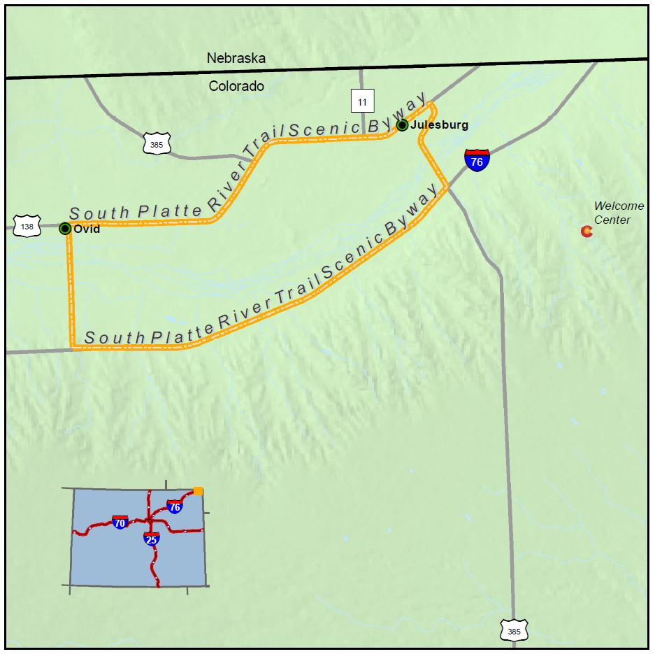
South Platte River Trail

Length: 19 miles
Driving time: 30 Minutes
Although the shortest of Colorado's 26 byways, the South Platte River Trail is long on history. In the 19th century it lay on the main route westward, and was used by tens of thousands of pioneers lured by the promise of wealth, land and freedom.
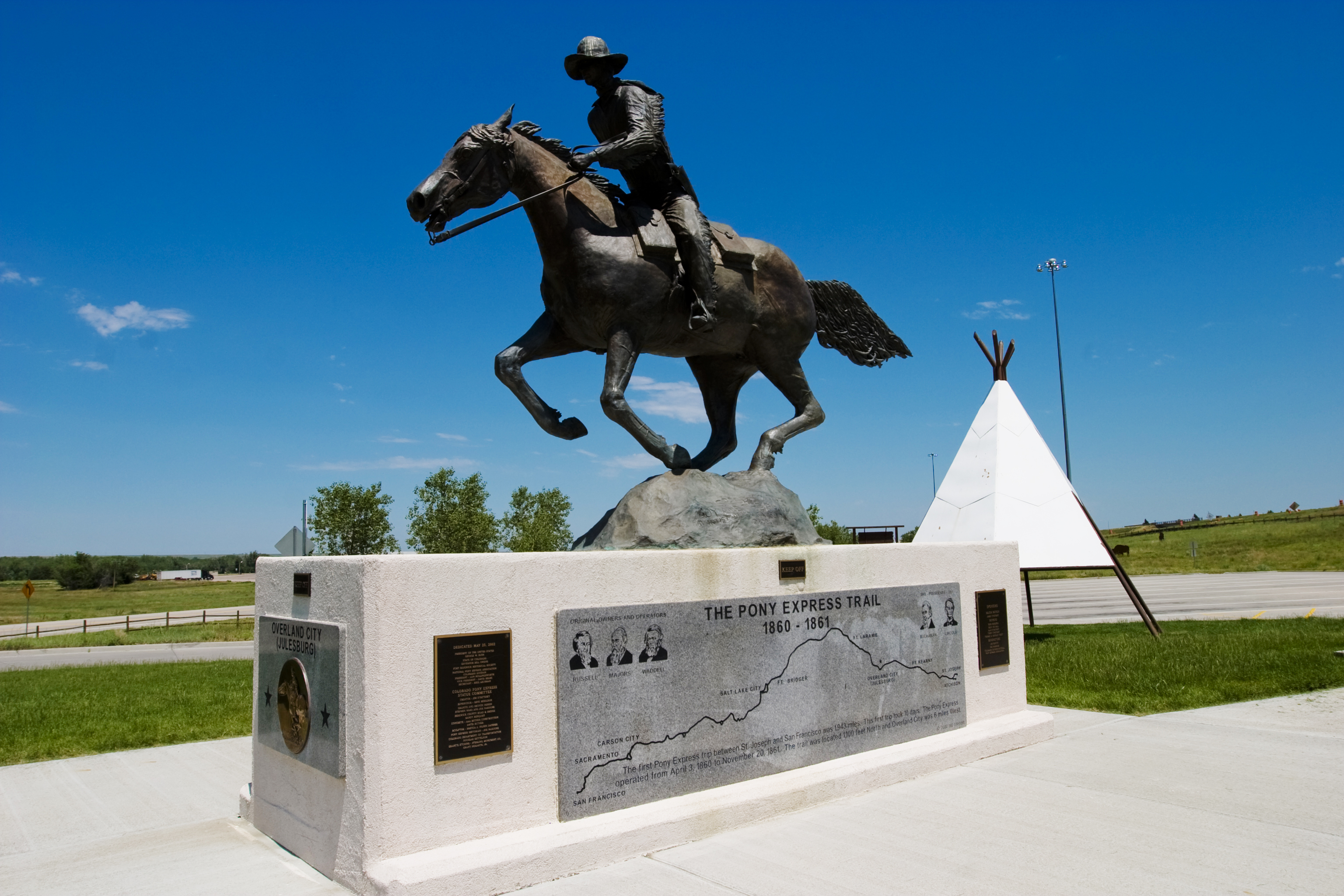
Beginning at the Colorado Welcome Center, this 19-mile loop features interpretive signage at the original Julesburg townsite, the location of Colorado's only Pony Express home station, and Fort Sedgwick, established in 1864 to protect the trail and telegraph line. Additional markers commemorate the other three Julesburg townsites, the Transcontinental Railroad, and the Lincoln Highway—the first coast-to-coast automobile road in the United States.
Features
- Colorado Welcome Center in Julesburg
- Fort Sedgwick Museum
- Hippodrome Arts Centre
- Jumbo Reservoir State Wildlife Area
Local Chamber of Commerce
Byways Corridor Management Plan
- South Platte River Trail Interim Byway Management Plan March 1995
- A Framework for Wayshowing: The South Platte River Trail May 2013
- South Platte River Trail Byway Corridor Management Plan - April 2012

