Cache la Poudre - North Park
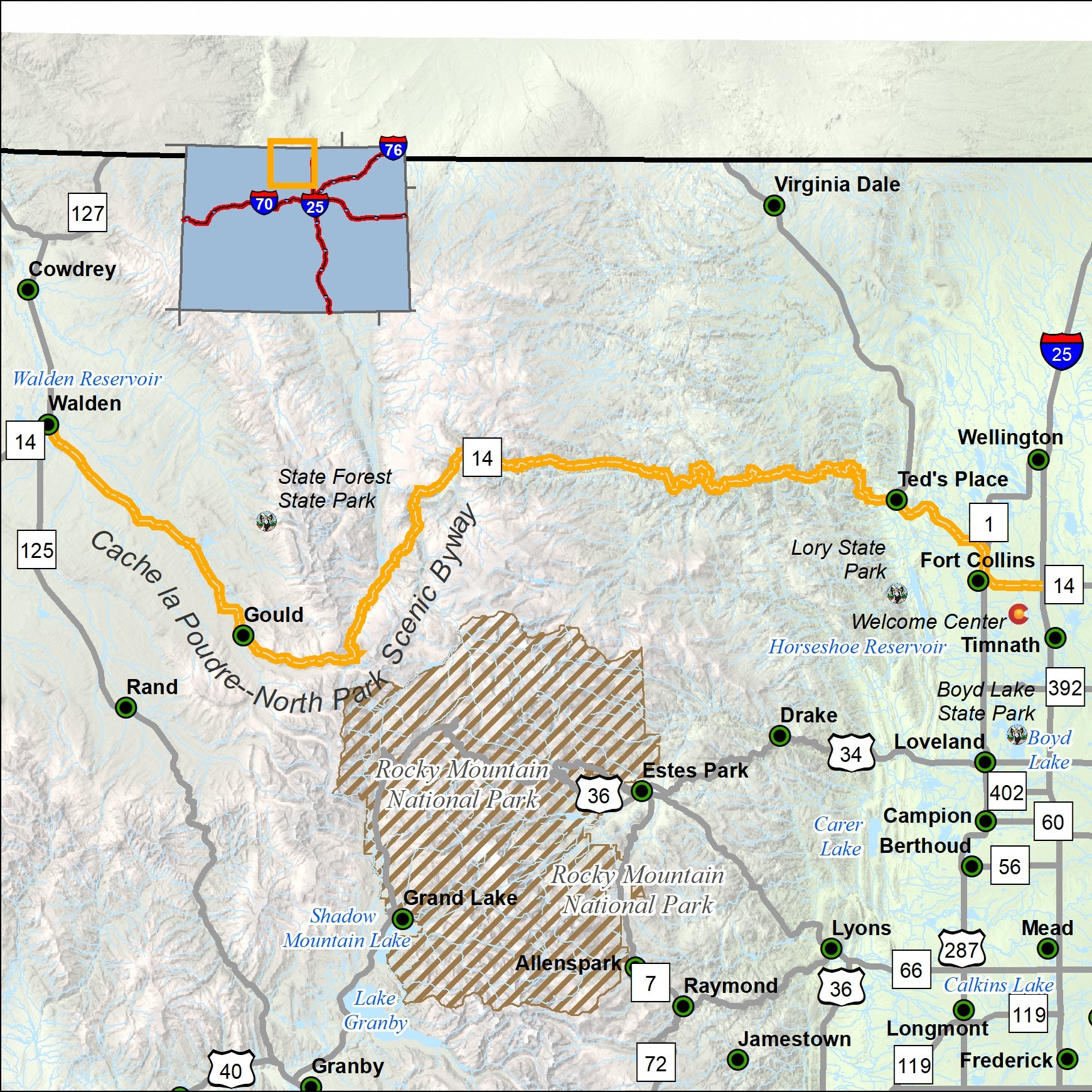
Length: 101 miles
Driving time: 3 hours
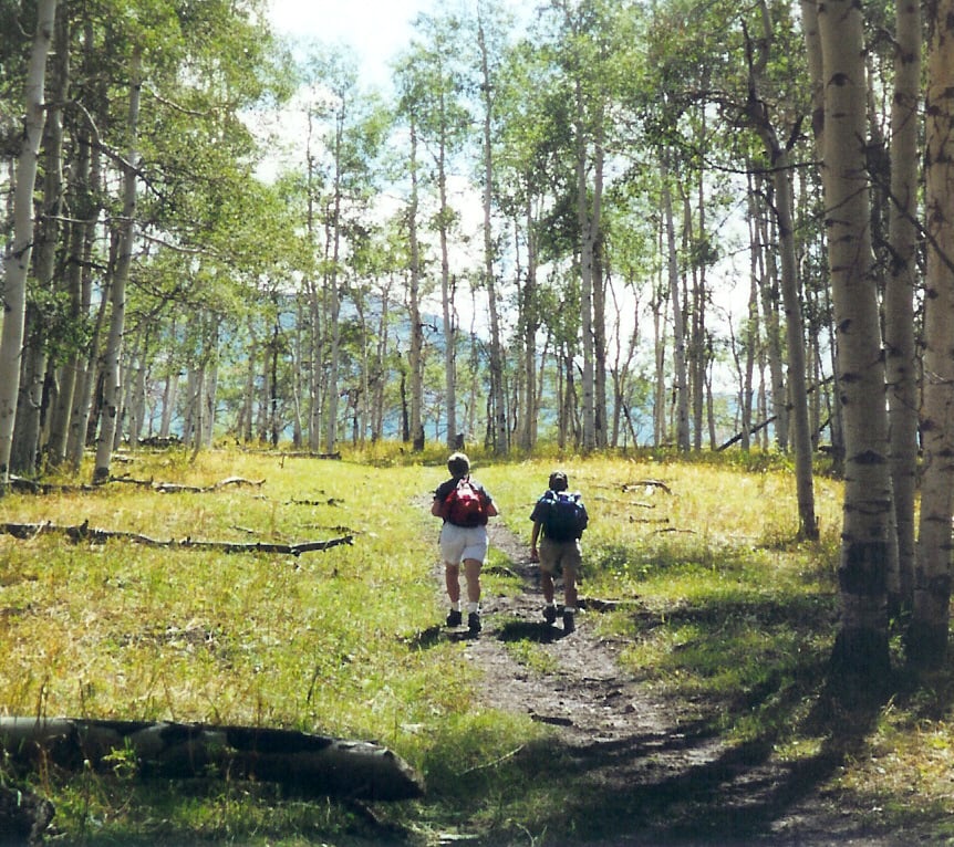
This byway links Fort Collins with Walden, a part of North Park, a quiet, bowl-shaped valley just east of the Continental Divide. The road runs through the Cache la Poudre River canyon, once a useful transit corridor for Native Americans and, later, white explorers
Today's visitors lean more toward recreation; whitewater boaters and anglers love the Poudre, Colorado's only federally designated National Wild and Scenic River. At 10,276-foot Cameron Pass, the highway intersects Colorado State Forest, a 70,000-acre preserve of glaciated mountains and evergreen thickets. North Park, once a favorite bison grazing ground, remains heavily populated with deer, antelope, elk, moose, beaver and coyote; migrating waterfowl flock to the Arapaho National Wildlife Refuge.
Cache la Poudre Video Tour Cache La Poudre Photo Tour
Features:
- Cache la Poudre-North Park Colorado Tourism Website
- My ScenicDrives Road Trip Map
- Roosevelt National Forest
- State Forest State Park
- Arapaho National Wildlife Refuge
- Cache La Poudre River National Heritage Area
- Lory State Park
- Cache la Poudre Wild & Scenic River
- Gateway Natural Area (Mountain Park)
- Bureau of Land Management McCallum Field Auto Tour
- Bellvue-Watson Fish Hatchery
- Poudre Rearing Unit
Local Chamber(s) of Commerce:
Corridor Management Plan
- A Framework for Wayshowing: Cache la Poudre-North Park Byway July 2014
- Cache la Poudre-North Park Interpretive Plan
- Cache la Poudre-North Park: Traffic Safety Review July 1999
- Cache la Poudre – North Park Corridor Management Plan - Feb 1998
- Cache La Poudre-North Park Scenic & Historic Byway Corridor Management Plan - September 2013
Special Considerations:
- Heavy summer traffic
- Watch for livestock crossing the road.
- Watch for commercial traffic (semis).


