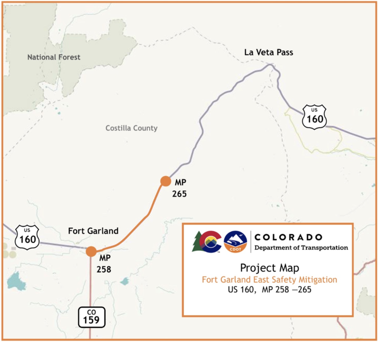
US 160 Fort Garland East Safety Mitigation
About the Project
This project is located east of Fort Garland in Costilla County on US 160 from Mile Point 258 to 265. Project work consists of:
- Acceleration and deceleration lanes
- Wildlife safety improvements
- Intersection improvements at US 160 and Trinchera Ranch Road
Project Benefits
To improve highway safety for both wildlife and motorists.
Work Schedule
- Work will begin in early March
- Working hours will generally be 30 minutes after sunrise to 30 minutes before sunset, Monday through Friday
- The project is scheduled for completion in Summer 2027
Traffic Impacts
Motorists and area residents can expect the following impacts during construction:
- Single lane closures and shoulder closures will take place within the work zone
- Periodic flagging operations for alternating one way traffic
- 11-foot width restrictions
- Traffic detour routes
- Reduced speeds in the work zone will be in place
- Plan ahead and expect delays
- Construction schedules are weather-dependent and subject to change
- For current information on construction impacts, please check COtrip.org for real-time travel conditions and road closures
Work this Week & Lane Closures on CO 160 - East of Fort Garland
Project Facts
- Construction Cost: $13 million
- Contractor: Capital Teams
- Timeline: March 2025 through Summer 2026
- Location: US 160
- Nearest Town/City: Fort Garland
- Mile Point(s): MP 258 to 265
- County: Costilla

