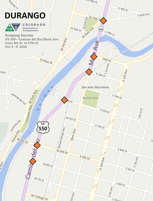
US 550 Camino del Rio and Main Avenue
Field Activity
From Monday, Oct. 3 through Sunday, Oct. 9, a Colorado Department of Transportation (CDOT) survey crew gathered data and information for a possible future intersection improvement project. The survey work began at 8th Street and continued north to 17th Street.
Background
CDOT is exploring the feasibility of safety improvements for intersections along US 550 in downtown Durango, from 8th to 17th streets. The information collected by our surveyors will be used for planning and design purposes. The scope of work includes mapping of existing topography and utilities, survey of existing striping and utility location.
The final scope of the project will be determined as funding becomes available.

