CDOT completes avalanche mitigation along I-70 following multiple storms over holiday weekend
Travel Advisory
Clear Creek, Summit, Eagle Counties — Winter operations teams have safely triggered and cleared avalanche slide paths along I-70 through the mountain corridor following successive storms from last Thursday night through Tuesday morning. Measurements taken this morning on the summit of Vail Pass counted 28 inches of snow and 2.2 inches of snow water equivalent.
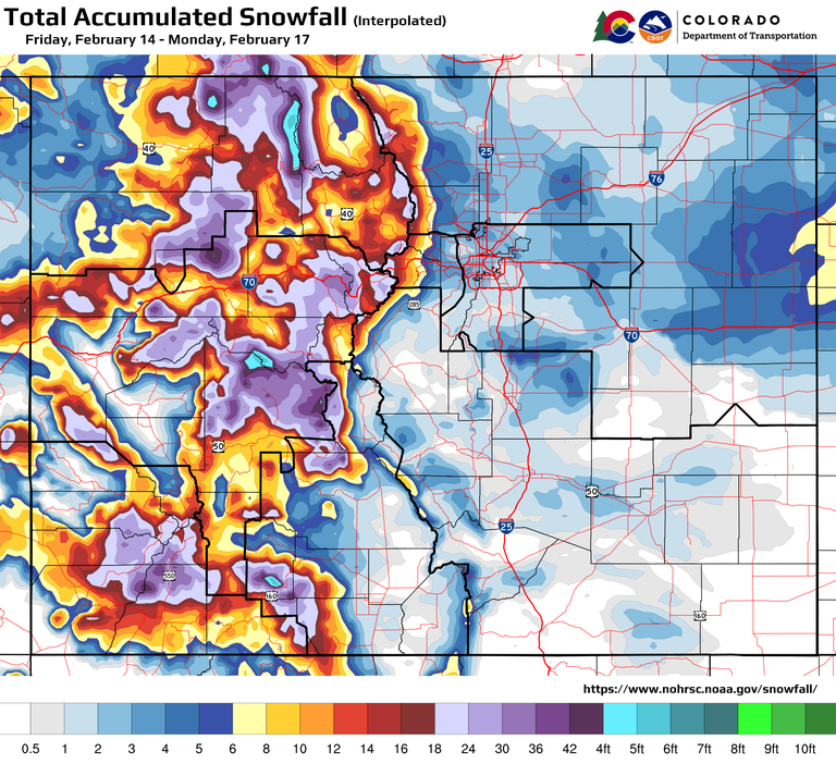
Those storms brought heavy accumulations of snow and high winds, which made for extreme conditions over long stretches of the Presidents Day weekend. With high volumes of car and truck travel, CDOT crews and law enforcement cleared vehicle spinouts, in addition to clearing roads of snow throughout the extended holiday weekend. Some periods of time saw short and intense bursts of snow that impeded visibility.

“Mother Nature did not take off for the holiday weekend. To the contrary, we saw some of the most intense snow totals of the season in the high country and multiple consecutive storms. Mountain Corridor ski resorts reported more than a foot and a half of fresh snow in 48 hours and more than four feet of snow in the past seven days. CDOT crews have been working around the clock to clear roads and mitigate avalanche risk, including a number of mitigation missions this morning. We remind drivers that conditions remain challenging. Please drive carefully through the tail end of this weather system, and watch out for snow plows and law enforcement who are working hard to keep the roads safe,” said CDOT Executive Director Shoshana Lew.
Every winter, CDOT and its sister agency, the Colorado Avalanche Information Center (CAIC), regularly monitor and control 278 of 522 known avalanche paths located above Colorado highways. These efforts help prevent avalanches from impacting motorists on the highways below. When there is a high risk of avalanche danger, CDOT will close the highway at the location of the avalanche path to conduct avalanche control. After the highway is closed, CDOT crews bring down the unstable snow from the mountain side and clear all snow and debris from the roadway before reopening the highway to traffic.
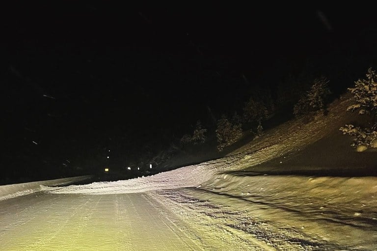
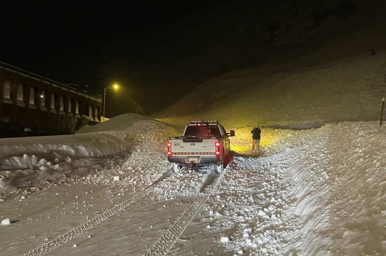
Four avalanche slide paths between the Eisenhower-Johnson Memorial Tunnel and the town of Silverthorne released debris onto the lanes of I-70 early this morning as crews performed mitigation missions. I-70 was briefly closed while these slides were triggered and crews cleared the road.
“The mitigation methods used in the early morning hours, before daylight, allowed our crews to work when traffic volumes are low,” said CDOT Director of Maintenance and Operations Shawn Smith. “This work is critical for keeping our roads safe, especially after the volume of snow we have seen over the past few days. We appreciate drivers’ patience as the team performs this important work of triggering avalanches and subsequent cleanup, which significantly reduces the risk of natural slides.”
“CAIC forecasters have been busy reading the snowpack for both backcountry users and Colorado highways,” said Ethan Greene, Director of the CAIC. “With avalanche danger rated as high in the Northern Mountains, we’ve been diligent about communicating this danger to the public and working closely with CDOT maintenance crews.”
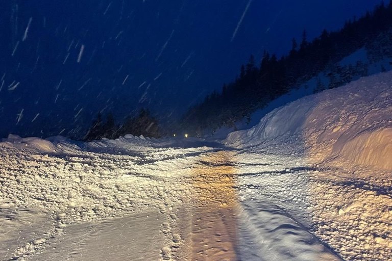
During a later morning mission, crews performed essential winter maintenance operations on Vail Pass, between Exit 180/ East Vail and Exit 195/ Copper Mountain, around 9 a.m. with five snowslides mitigation and one reaching the interstate lanes, as much as four feet deep and 175 feet in length.


Visit COtrip.org for the latest information on road closures and conditions.
Visit the Colorado Avalanche Information Center’s website, colorado.gov/avalanche, for avalanche forecasts.
Download the COtrip App!
The free COtrip Planner mobile app was designed to meet the growing trend of information on mobile and tablet devices for the traveling public. The COtrip Planner app provides statewide, real-time traffic information, and works on mobile devices that operate on the iOS and Android platforms. Visit the Google Play Store (Android devices) or the Apple Store (iOS devices) to download!
