Surface treatment completes on US 160 west of Pagosa Springs
News Release

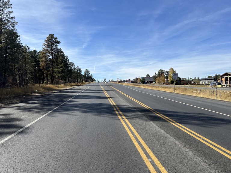
Archuleta County — The Colorado Department of Transportation completed the US Highway 160 surface treatment project west of Pagosa Springs. The project improved approximately six miles of US 160 on the west side of the town from County Road 139 (Boyles School Road) to S. 10th Street, mile points 135-141, as well as another section less than a mile long on the east side of town from the San Juan River Bridge to the US 160/US 84 junction, MP 144 through 144.5.
“This resurfacing project was a regional priority for CDOT, the Town of Pagosa Springs and Archuleta County,” said Julie Constan, CDOT regional transportation director. “We are pleased that US 160 on either side of Pagosa is now improved. The well-maintained roadway is essential to the quality of life and safety for residents, employers, and visitors to Pagosa and the southwest region.”
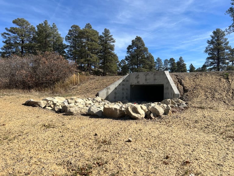
Contracting partner, Four Corners Materials of Durango, milled the existing asphalt, paved with new asphalt, installed rumble strips, replaced guardrail, replaced a culvert and performed final striping. The new asphalt will add approximately 10 years of life to the highway, provide a smoother road surface and will add durability by increasing the resistance of ruts and road damage. Additional work included sign and delineator replacement, conduit installation, seeding and mulching.

“CDOT appreciates the partnerships developed with the Town of Pagosa Springs, as we continue to improve US 160 near and in the town,” added Constan. “Residents may note that during this resurfacing project, no work took place through a one-mile stretch of downtown Pagosa from South 10th Street to the bridge over the San Juan River. That downtown portion of highway is set for concrete reconstruction next year. The 2024 downtown project will help us achieve our top priorities identified for the Pagosa community.”
Know Before You Go
Travelers are urged to “know before you go.” Gather information about weather forecasts and anticipated travel impacts and current road conditions prior to hitting the road. CDOT resources include:
- Road conditions and travel information: COtrip.org
- Download the COtrip Planner app: bit.ly/COtripapp
- Sign up for project or travel alerts: bit.ly/COnewsalerts
- See scheduled construction lane closures: bit.ly/laneclosures
- Connect with @ColoradoDOT on social media: Twitter, Facebook, Instagram and YouTube
Download the COtrip App!
The new free COtrip Planner mobile app was designed to meet the growing trend of information on mobile and tablet devices for the traveling public. The COtrip Planner app provides statewide, real-time traffic information, and works on mobile devices that operate on the iOS and Android platforms. Visit the Google Play Store (Android devices) or the Apple Store (iOS devices) to download!
