Landslides
Database
The CDOT Geohazard Program monitors over 100 landslides and slope failures effecting the State highway system. The Program has created a preliminary GIS database of landslide characteristics. The database allows for ranking by priority and easy access to data by search criteria. CDOT personnel can access the database via the interal web on OTIS Map View2. For general requests, please contact the Geotechnical Program and we would be happy to run a report for you. Also, the Colorado Geological Survey has an on-line landslide inventory program that covers the entire state, not just landslides impacting the highway system.

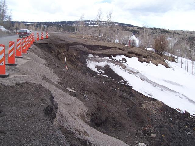
Landslide on SH-65 at Grand Mesa.
Wall failure on US-6 west of Vail.

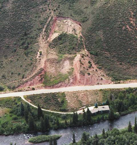
Landslide on US-6.
Embankment failure on I-70 at Georgetown.
Mitigation
Mitigation and repair options for the highways have included soil anchors, tie back anchors, light weight fill, and buttresses.

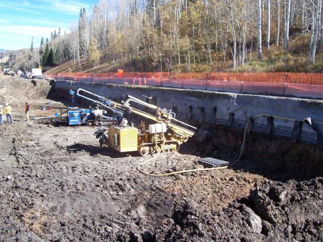
Soil nail installation on SH-65 on Grand Mesa.

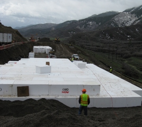
Light weight Geofoam installation on SH-13.
Tie back anchor installation on I-70/US-6 west of Vail.
